Sampling and identification in the field

For every experiment, before putting it into practice, a protocol should be drawn up, so we know what we have to experiment/sample, and how to do it, using which material, how many times … This protocol allows us to follow clear steps, but it also acts as a track for other scientists who would like to reproduce our experiment, using this protocol.
For this field trip, the chosen sampling design (the way data are collected) is the irregular discontinuous transect. This is a method often used in ecology to study the distribution of species according to their community and density.
The irregular transect is thus carried out along a gradient, here along the shore starting from the bottom, at low tide, and going up to the top, matching the maximum height reached by the sea at high tide. Since the shore represents a large area to sample, we divide it into « belts ». A belt represents a community dominated by a species, here it is the algae that dominate, and where we find a certain homogeneity in the diversity of individuals present in each belt.
We have therefore divided the foreshore into 3 belts:
- Belt n°1: dominated by Pelvetia canaliculata
- Belt n°2: dominated by Fucus serratus and Ascophyllum nodosum
- Belt n°3: dominated by red algae including Mastocarpus stellatus
 Canopy of Pelvetia canaliculata, Prat beach, Ouessant ©Riwalenn Ruault


In each belt we randomly threw 6 quadrats of 50cm² and we collected several data:
The species present (identification in the laboratory for species that could not be identified on site) :
- Count of individuals for animal species
- Percentage of abundance for plant species
The stratum of each species: this measure divides the macroalgae according to their size, where a stratum corresponds to a size class
- Encrusting stratum: algae attached to the rock
- Micro-meiotic stratum: algae of sizes < 30 cm
- Macrobiotic stratum: algae > 30 cm in size
- Mega biotic stratum: algae > 1 m in size
Percentage soil cover: percentage of the quadrat considered covered by organisms
The percentage of abundance is determined regardless of the other species present and is characterised according to the species’ coverage in the study area:
1 = the cover is between 1-5%.
2 = the cover is between 5-25%.
3= the cover is between 25-50%.
4 = the cover is betwen 50-75%.
5 = the cover is > 75%.
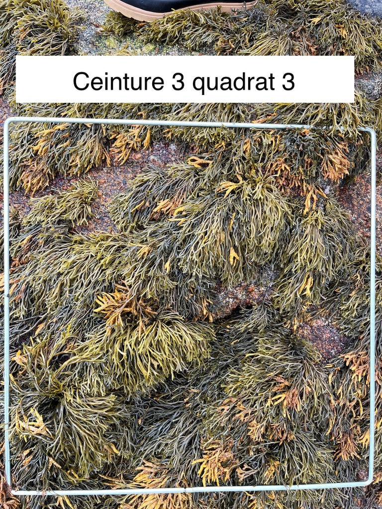
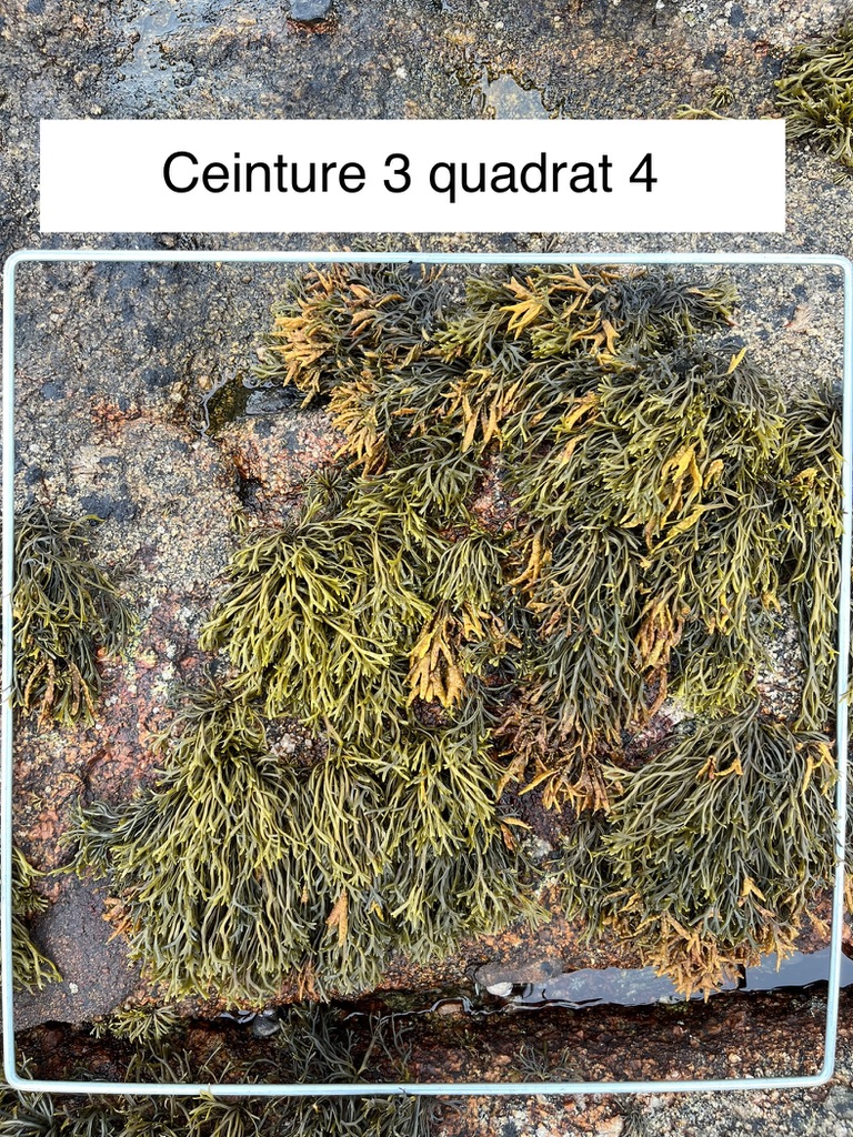
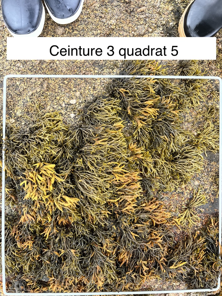
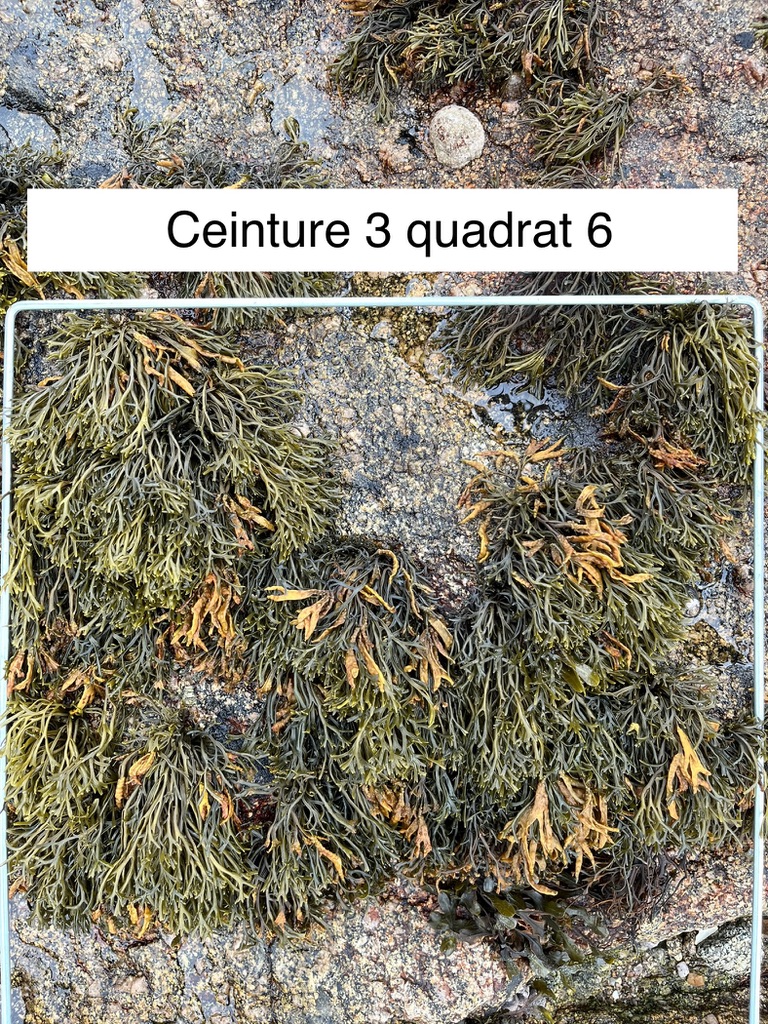
Here are the photos of the quadrats of belt 3, the one of Pelvetia canaliculata being at the top of the foreshore:


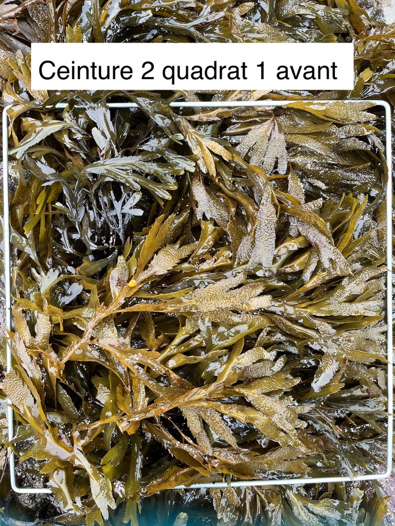
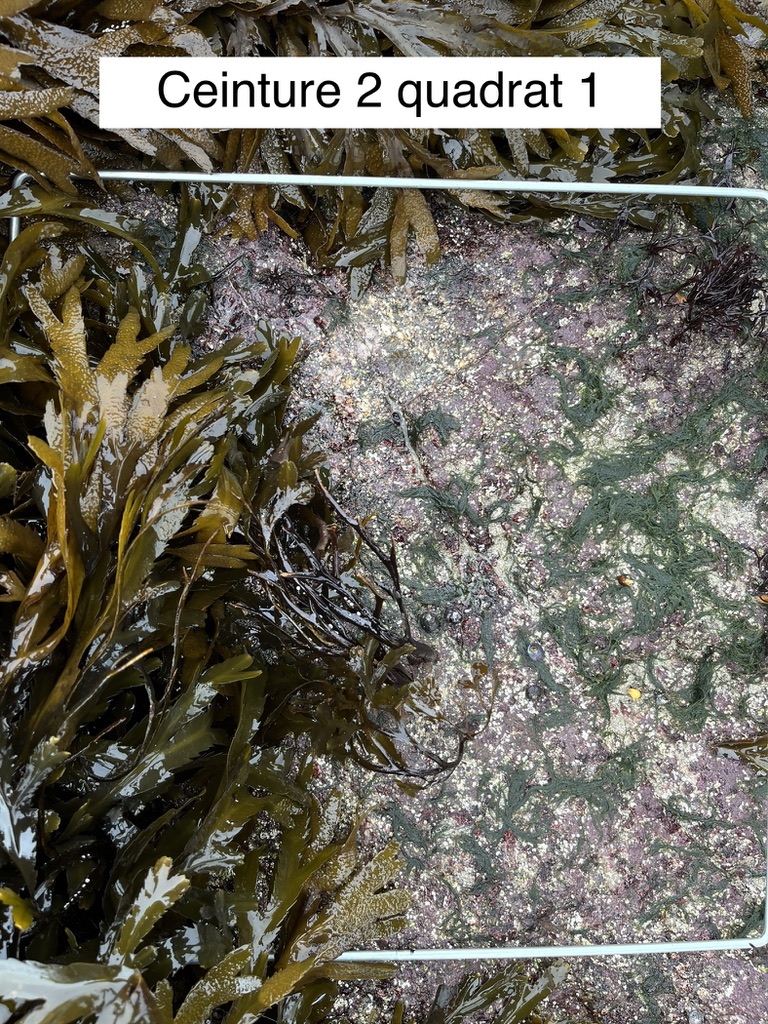
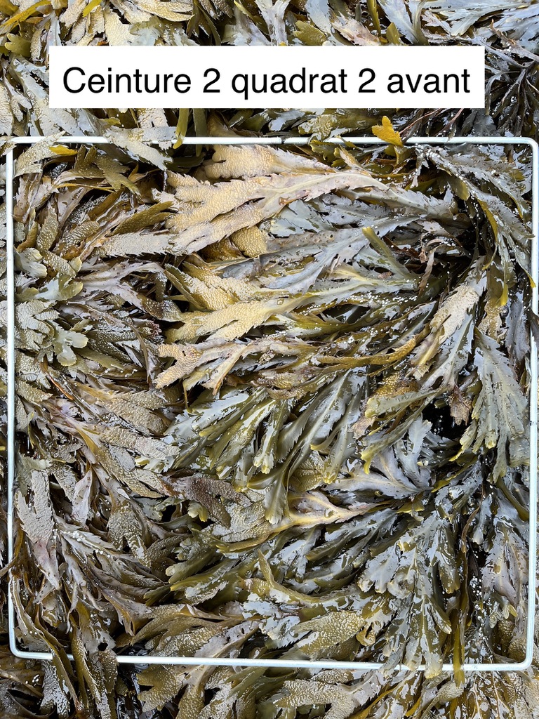
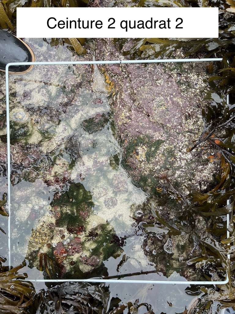
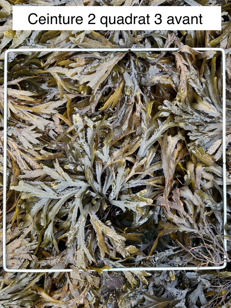
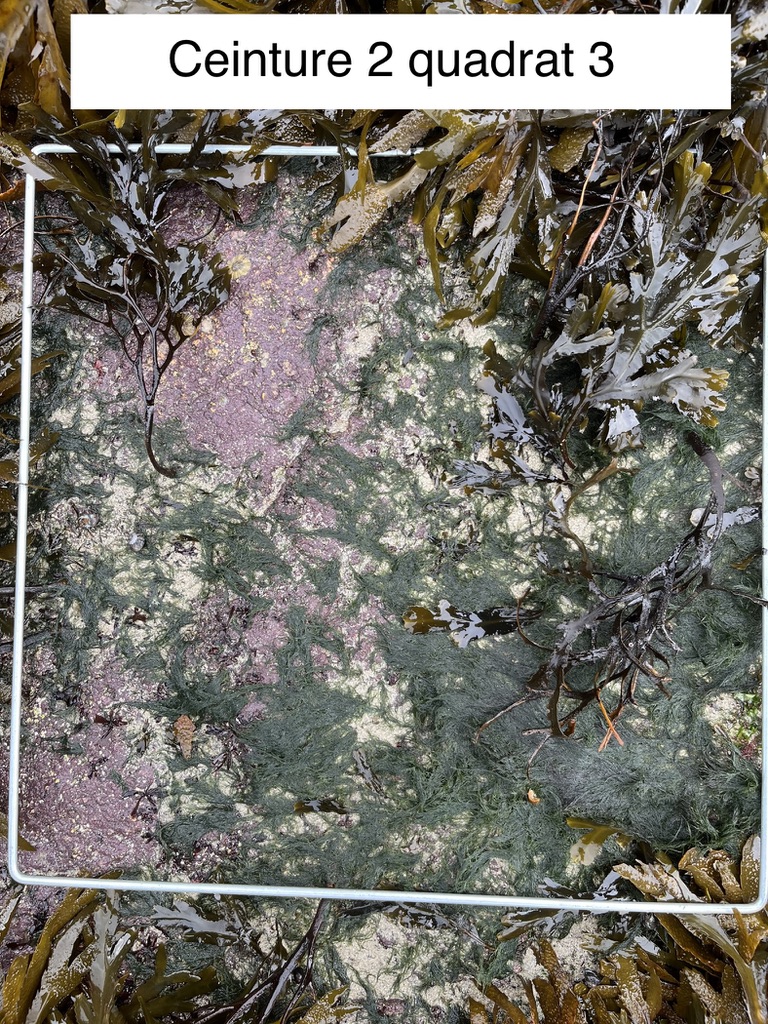
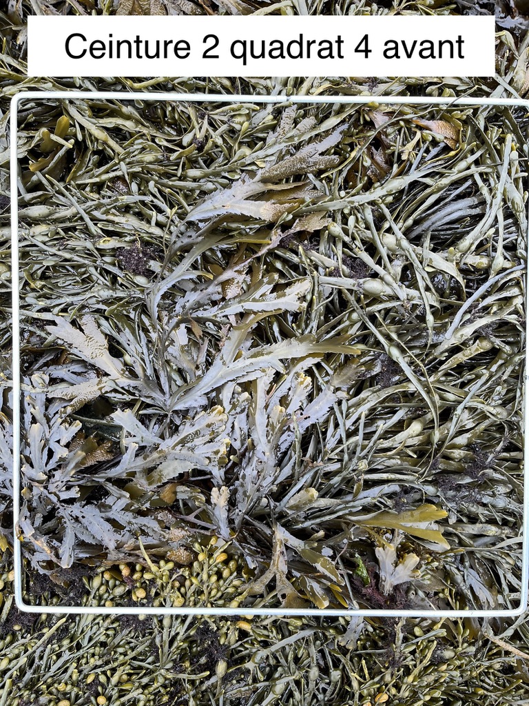
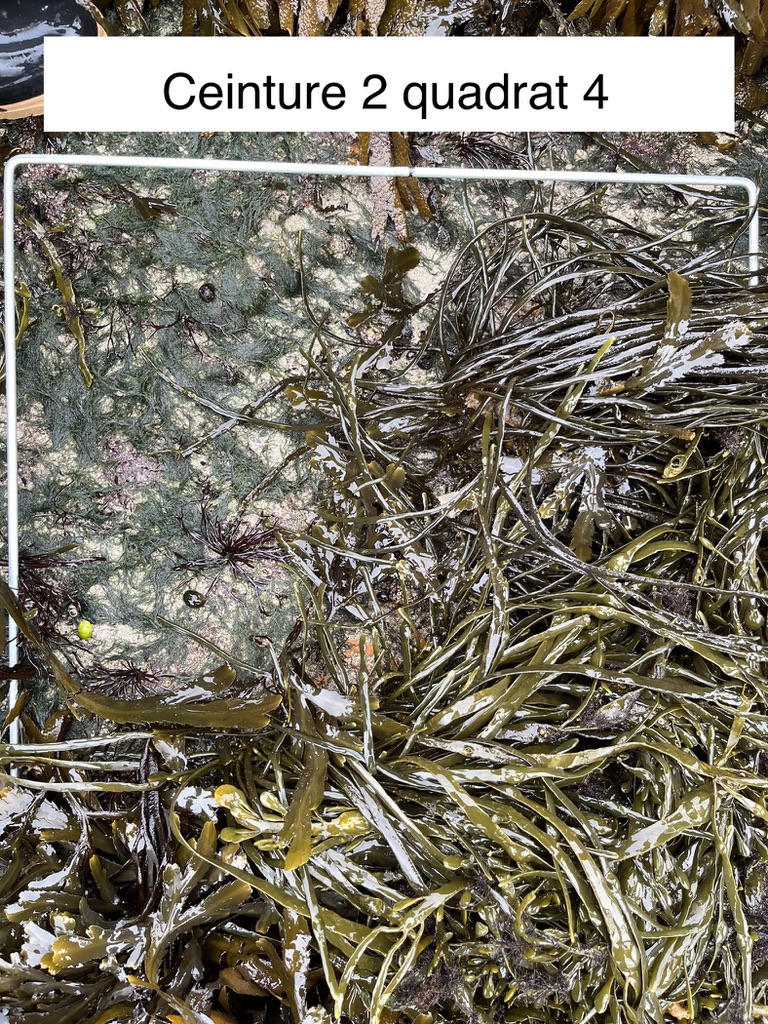
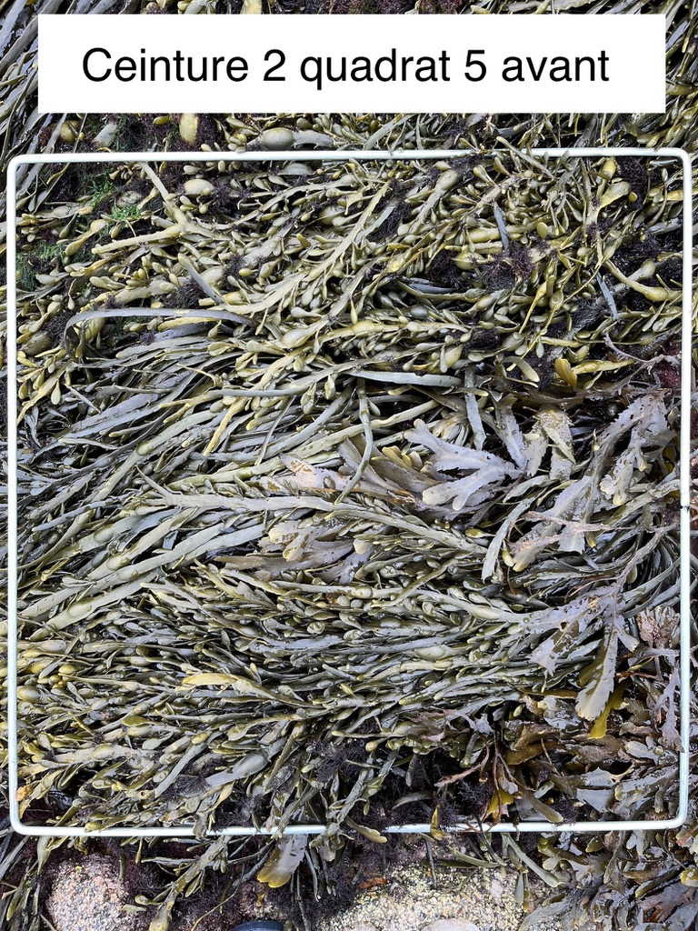
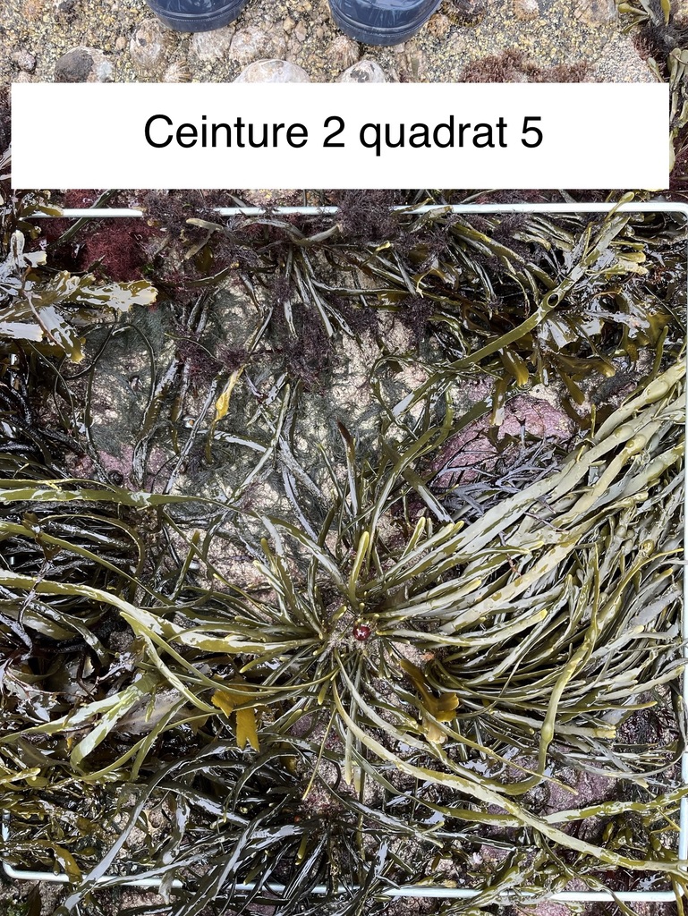
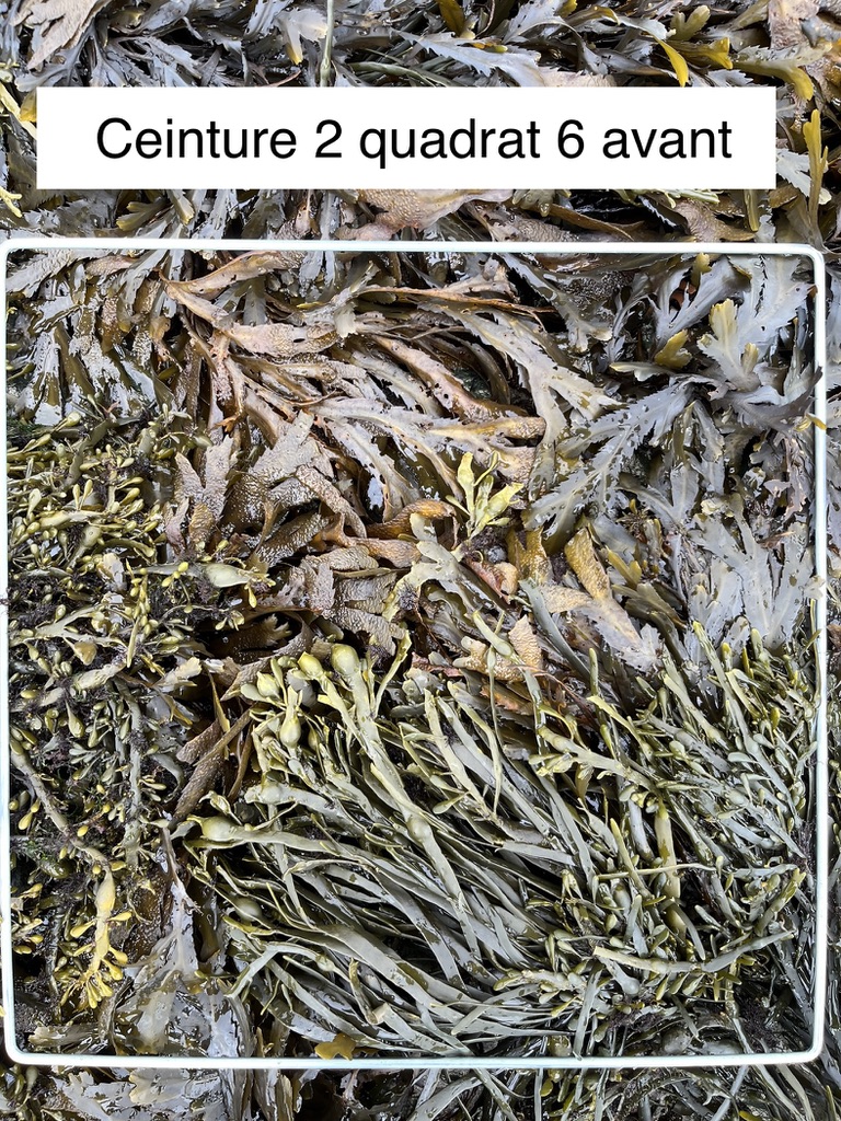
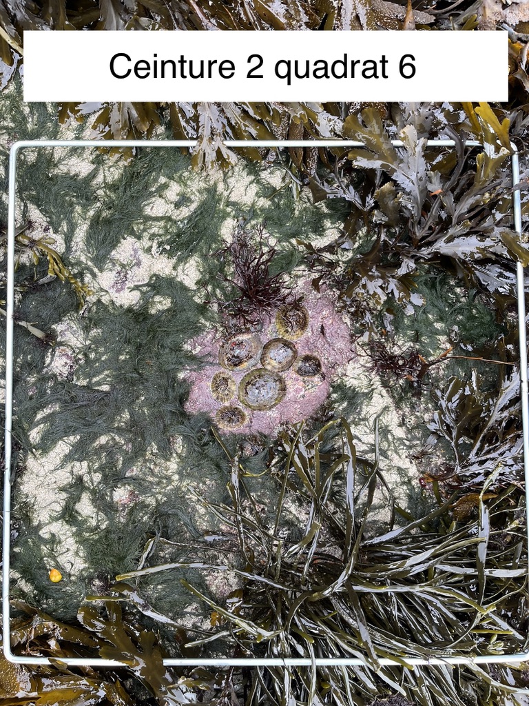
Here are the photos of the quadrats of belt 2, the one with Fucus serratus and Ascophylum nodosum in the middle of the foreshore:
Here are the photos of the quadrats of belt 1, the one with Mastocarpus stellatus at the bottom of the foreshore:
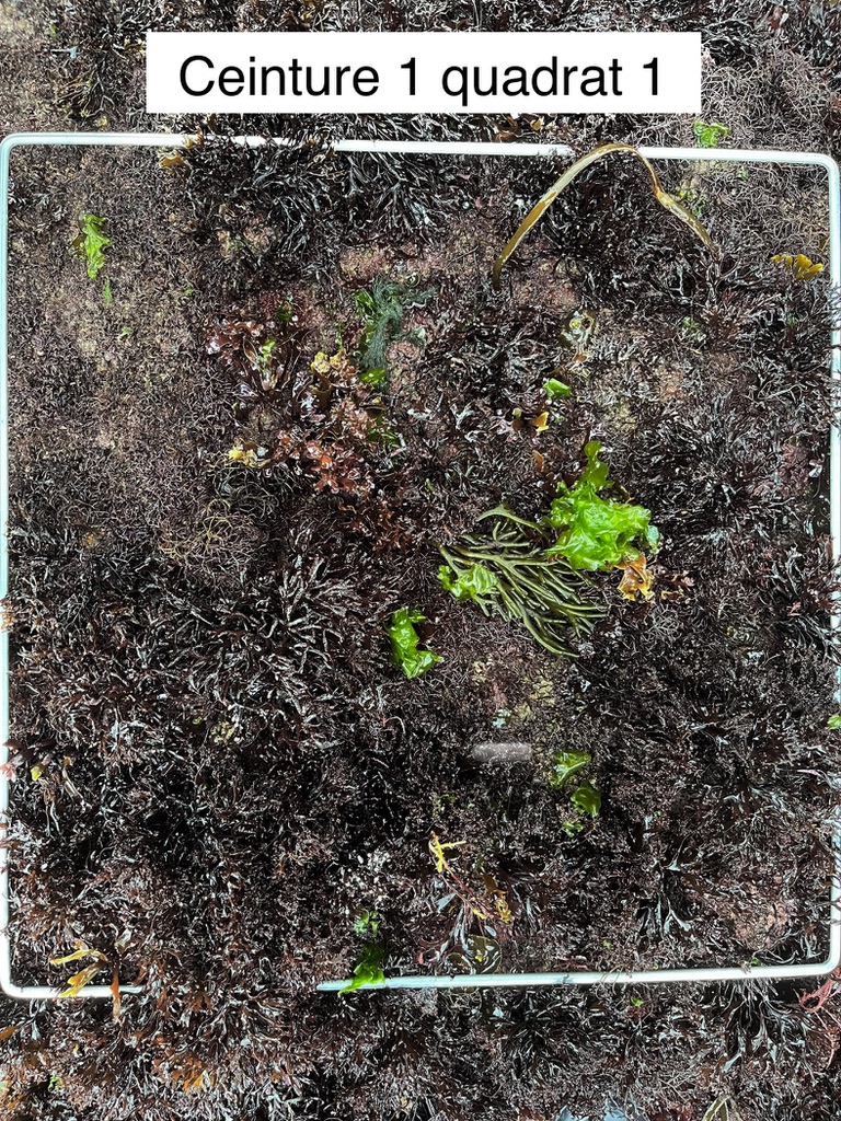
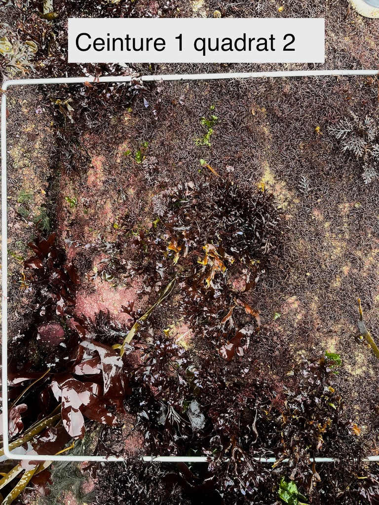
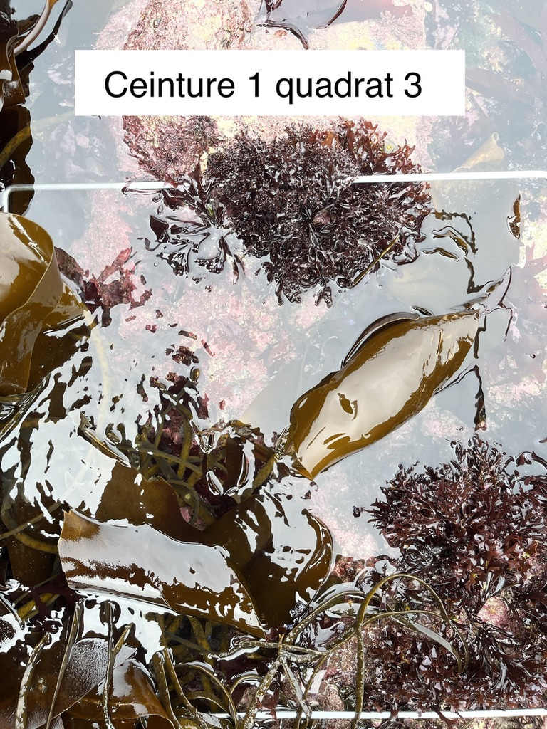
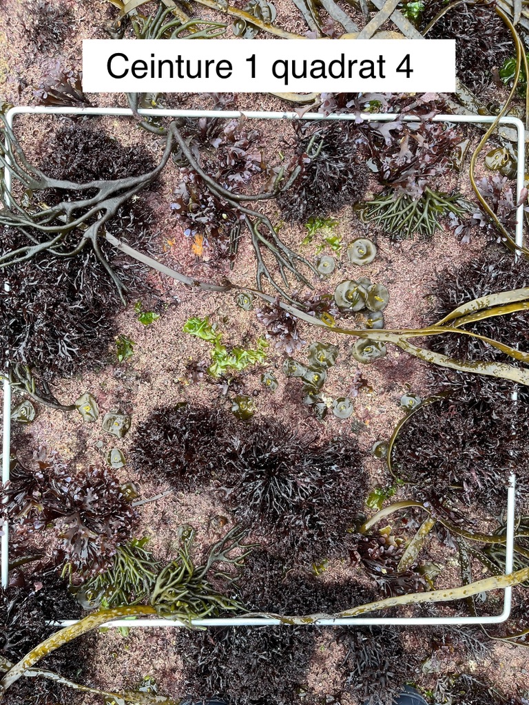
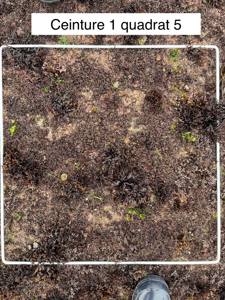
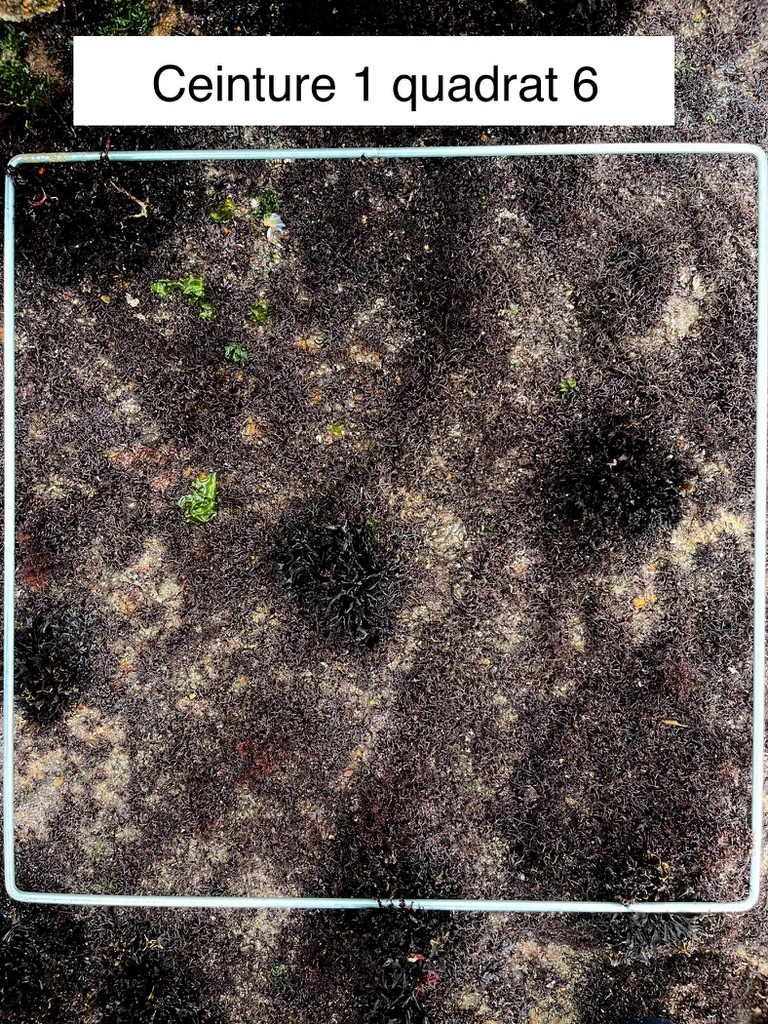
All quadrats’s pictures had been taken by ©Nolwenn Béchennec.
 Attention, vous utilisez un navigateur peu sûr !